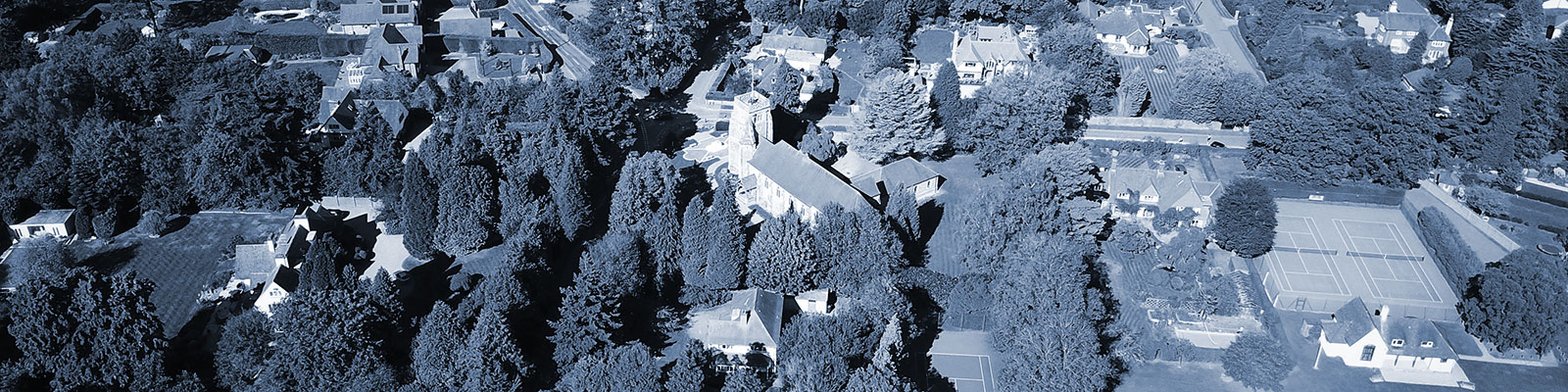
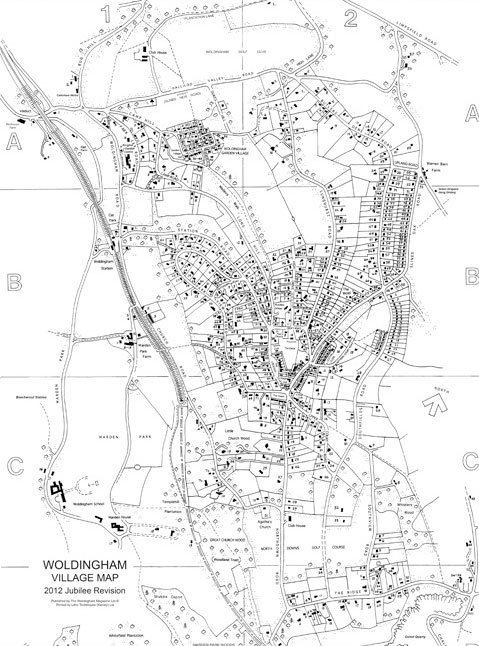
The Village Map
Serving the Community since 1928
As a village, Woldingham has hardly any numbered houses so locating a particular dwelling or building in a particular road is not as easy as it might seem.
The Village Map provides essential assistance to its users and was first published in 1929.
- Fully indexed map of Woldingham’s approx 750 houses together with public buildings, roads, bridleways & footpaths.
- A1 format printed on 200gsm stock.
- Updated every 4-6 years. Last updated in 2018.
- Supplied free to Magazine Subscribers at the time of publication and available for purchase thereafter at the Village Shop.
- The map is also used by local emergency services including the Police, Ambulance and Fire to quickly locate houses in case of an emergency.